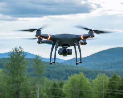
In an era where data-driven insights propel industries forward, DJI’s Matrice 4E emerges as a game-changer in drone technology. Tailored for precision mapping and surveying, this advanced aerial platform combines robust hardware, intelligent automation, and state-of-the-art sensors. Whether deployed in infrastructure assessment, land management, or environmental research, the Matrice 4E sets a high standard for accuracy, reliability, and productivity.
Pushing the Boundaries of Aerial Imaging
Central to the Matrice 4E is a versatile sensor suite that delivers a new level of data fidelity. By supporting high-resolution optical cameras and optional LiDAR payloads, the drone captures both visual and depth information in a single flight. The result is detailed 3D imagery and accurate geospatial data that can dramatically enhance:
- Surveying and Cartography: Produce high-precision maps and topographic models for land development projects.
- Infrastructure Analysis: Detect hidden defects in critical assets such as power lines, pipelines, and wind turbines.
- Conservation Efforts: Map habitats and monitor environmental changes with unparalleled detail.
This integrated approach streamlines workflows, allowing specialists to gather richer insights from fewer flight missions.
Intelligent Flight Automation
The Matrice 4E’s AI-driven flight systems enable it to perform complex maneuvers with minimal human intervention. Smart path planning automates flight routes to capture consistent data across diverse terrains, while advanced obstacle detection helps safeguard the drone from collisions. By reducing manual piloting responsibilities, the Matrice 4E frees operators to focus on the quality and application of the data collected.
Durable Design and Extended Operations
Designed to handle the rigors of fieldwork, the Matrice 4E features a rugged construction capable of withstanding adverse weather conditions. Improved power management and high-capacity batteries extend flight durations, ensuring comprehensive data gathering during each mission. This resilience and long-range capability make the Matrice 4E a strong contender for industries operating in remote or challenging environments.
Transforming Industry Practices
From real estate development and construction supervision to large-scale agricultural mapping, the Matrice 4E offers professionals a reliable aerial toolkit. By marrying cutting-edge imaging technology with intelligent navigation, DJI has created a drone that delivers accurate, actionable data. This level of precision not only refines project outcomes but also supports more informed, sustainable decision-making—benefiting businesses and communities alike.
Source: DJI Matrice 4E: A New Era of Intelligent Drones for Precision Mapping


